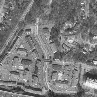
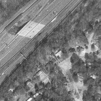
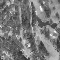
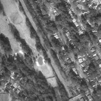
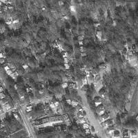
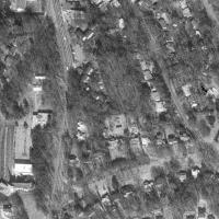
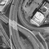
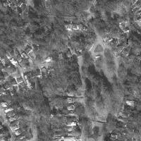
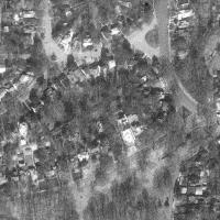
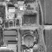
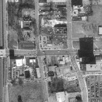
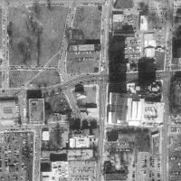
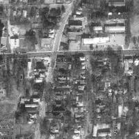
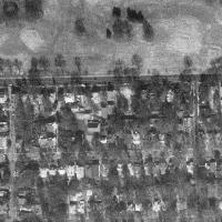
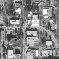
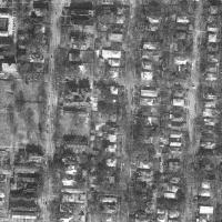
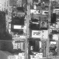
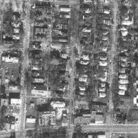
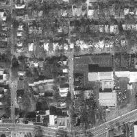
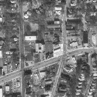
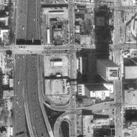
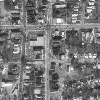
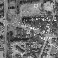
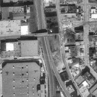
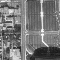
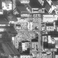
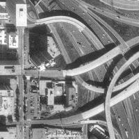
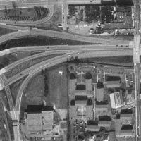
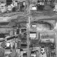
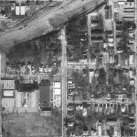
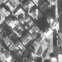
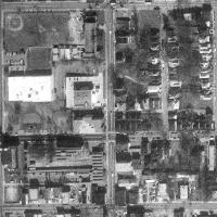
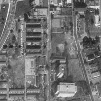
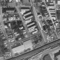
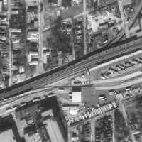
An overhead view of Atlanta
Courtesy of the USGS aerial photographs, circa Jan 27, 1993
Resolution: 2m / pixel
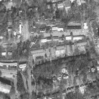
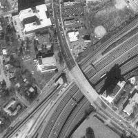
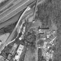
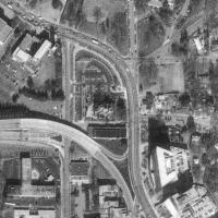
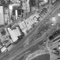
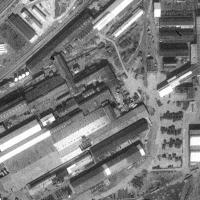
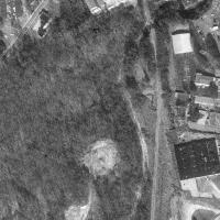
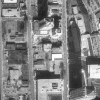
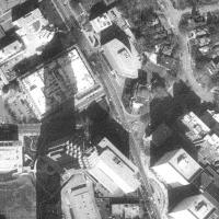
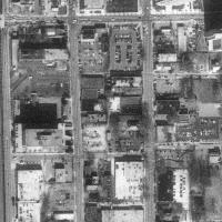
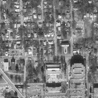
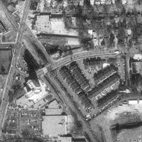
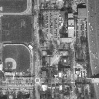
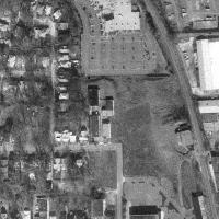
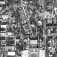
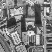
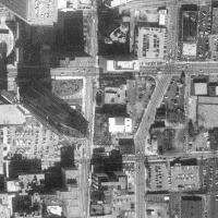
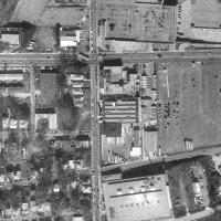
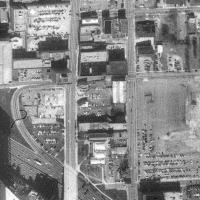
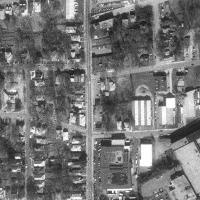
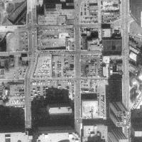
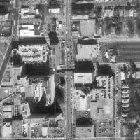
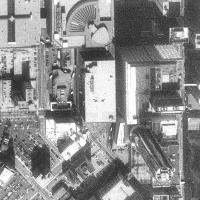
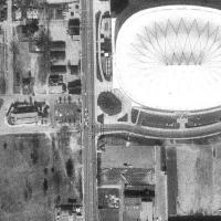
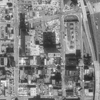
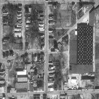
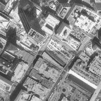
Click here for a closeup of the CNN Center.
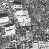
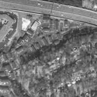
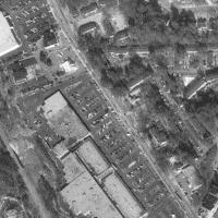
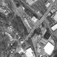
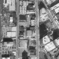
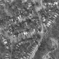
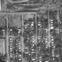
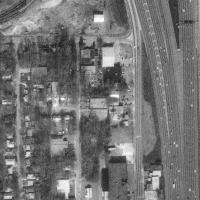
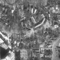
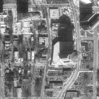
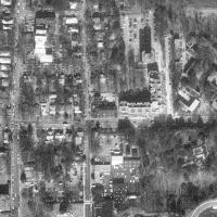
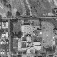
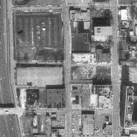
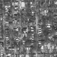
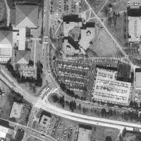
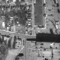
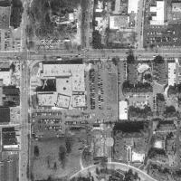
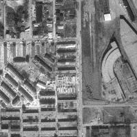
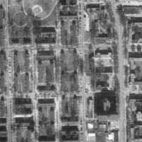
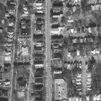
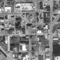
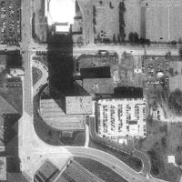
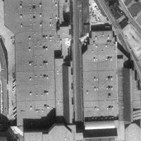
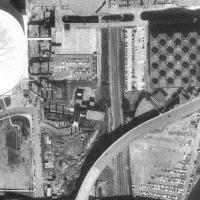
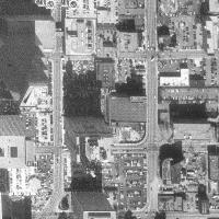
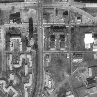
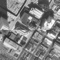
Click here for a closeup of Techwood Ave.
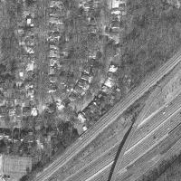
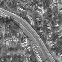
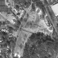
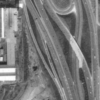
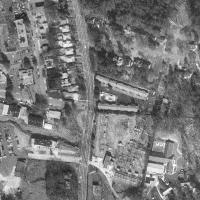
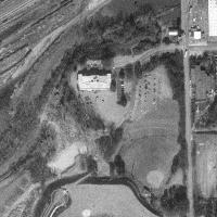
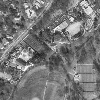
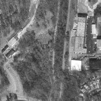
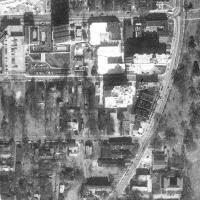
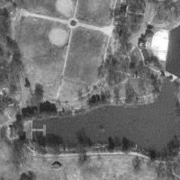
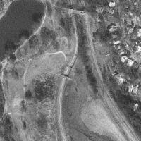
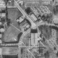
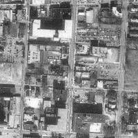
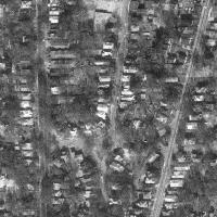
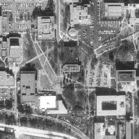
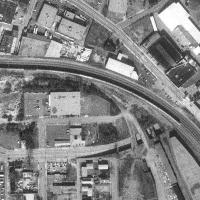
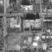
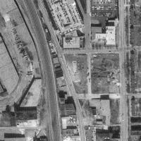
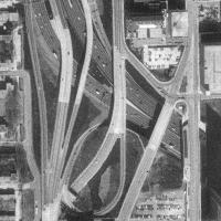
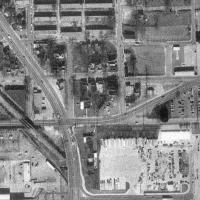
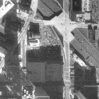
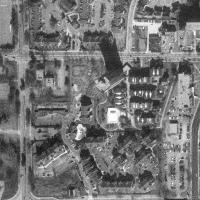
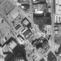
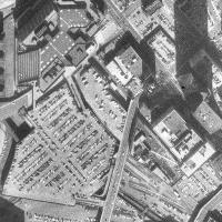
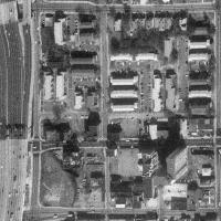
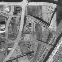
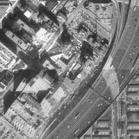
Click here for a view of the length of thePresidential/Freedom Parkway.
Cribbed from images as displayed on Microsoft's Terraserver.
For Chris Riggins personal use only.